Seattle City Clerk's Neighborhood Map Atlas


The Clerk's Neighborhood Map Atlas is used for indexing the records of the Seattle City Clerk and Municipal Archives. The purpose of the atlas is to ensure consistency in indexing and as a reference, so that when a record is indexed as being about a particular neighborhood, researchers can identify what location is meant from the atlas.

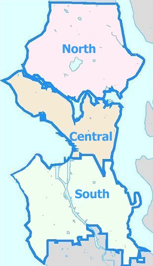
This atlas is not intended to represent City planning districts, neighborhood council districts, nor boundaries and neighborhood names defined by other associations. For more information, see below.

Click on the map or use the links below to drill down to specific neighborhood areas.


Q: Why doesn't this map show my neighborhood correctly?

A: There is no one "correct" Seattle neighborhood map. Representation of neighborhoods in this atlas can never meet all expectations for several reasons:
  • The City does not have electoral districts that might serve as official neighborhood boundaries;
  • Different City departments and non-City entities define neighborhoods differently based on many factors;
  • Familiar neighborhood boundaries and City planning areas and names change over time;
  • The records being indexed using this atlas date from the 1800's to present, and so no one set of boundaries and names will ever perfectly match all records; and,
  • At any point in time there may be many conceptions of what defines a neigbhorhood and how it is named.

Examples of various current neighborhood boundaries and names from different City departments include:

You may also be interested in viewing the City's My Neighborhood Map.